Inicia sesión para que podamos guardar tu progreso. Las cuentas son gratis.
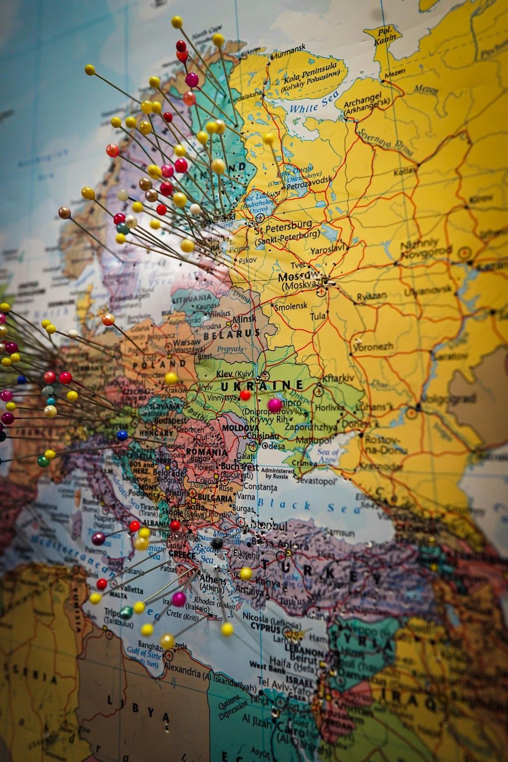
Pushpins Marking Destinations on a Map of Eastern Europe
A close-up photograph of a colorful political map focused on Eastern Europe and western Russia, with country borders, city names, and seas clearly labeled. Numerous straight pins with bright round heads are stuck into the map, clustering around parts of Europe and extending toward Russia. The image suggests travel planning or tracking visited places, with the sharp pinheads and printed map text in focus while other areas fall slightly out of focus, giving it a documentary, planning-board feel.
- Distinct country color blocks and bold border lines create clear regions to assemble.
- Readable place names and coastlines provide many unique reference points.
- Some large areas of similar color (notably the broad yellow region) may create sections with fewer unique cues.
- Shallow depth of field/blur in parts of the map can reduce detail and make matching pieces harder in those areas.
- Repeated pin shapes and similar pin colors may be confusing where many pins cluster together.
Atribución:
https://unsplash.com/@ipanasenko
Categorías:
Primeros planos,
russia,
Colorido,
travel,
europe,
map,
world map,
eastern europe,
ukraine,
geography,
atlas,
cartography,
Resoluciones: 4000 x 6000, 2048 x 3072, 1024 x 1536
Más imágenes parecidas