
Zaloguj się, abyśmy mogli zapisywać Twoje postępy. Konto jest bezpłatne.
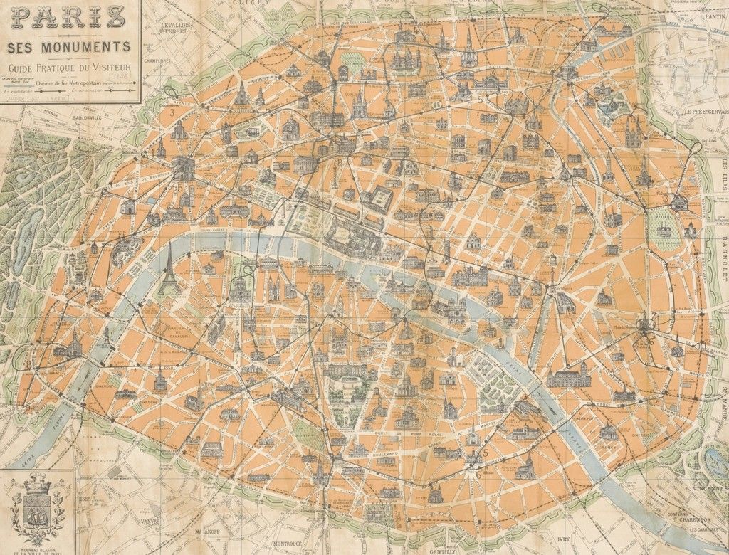
Illustrated Map of Paris
This illustrated map of Paris shows orange city blocks divided by a dense network of streets, with a winding river and bridges running through the city. Small drawings of monuments and buildings sit among green parks, while French lettering and visible fold lines give the map its distinctive printed appearance.
Autorstwo:
https://unsplash.com/@nypl
Rozdzielczości: 4096 x 3119, 2048 x 1560, 1024 x 780
Więcej podobnych