Please Sign in so that we can save progress as you play. Accounts are free.
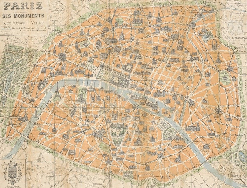
Illustrated Map of Paris
This illustrated map of Paris shows orange city blocks divided by a dense network of streets, with a winding river and bridges running through the city. Small drawings of monuments and buildings sit among green parks, while French lettering and visible fold lines give the map its distinctive printed appearance.
Attribution:
https://unsplash.com/@nypl
Resolution(s): 4096 x 3119, 2048 x 1560, 1024 x 780
More like this